
I have neglected to report on the sea-ice since November 11, as the subject draws little attention when the sea ice is growing by leaps and bounds. It is hard for the media to inspire panic about a “Death Spiral” when the sea-ice is doing what it does every year, which is to triple in its extent. Also I have been fighting an arctic invasion in my own back yard. Lastly, my favorite DMI site was down for a while.
Now I have been nudged back into action, partly because I have a bit of free time and simply enjoy the arctic, but also due to being aggravated by an article I read on “The Weather Network” that contained the usual misinformation. One paragraph stated:
“For example, after the record melt of Arctic sea ice in the northern summer of 2012, the melts in 2013 and 2014 were more in-line with the years prior to 2012 (and very close to what was seen in 2009). Although some have claimed this to be a ‘recovery’ of the Arctic, the 2012 melt was due to a combination of the warming trend in the climate and a specific worst-case sequence of weather events during that summer. Since that sequence of weather events didn’t repeat in the years after, the ice extents didn’t reach as low. However, the ice that grew back after 2012 was far thinner than was there before that melt, so the overall volume of ice – the total amount, rather than just how much ocean it covers – is still at a record low for the Arctic.”
This is just plain incorrect. The ice that grew back after 2012 was quite average, but was pushed towards Canada and piled up against the north coast of the Canadian Archipelago in a manner that made ice thicker for hundreds of miles out to sea, in a manner we have not seen for years. Furthermore, while “volume” is notoriously hard to calculate, indications are it is increasing, largely due to the increase of multi-year ice north of Canada.
This is something you know if you simply watch the ice. I’ve been doing so for years, and therefore misinformation leaps out at me. Appeals to authority cannot cancel what my lying eyes have seen, and I am unimpressed by any sentence that uses the words “studies show” or “scientists say” without referring to actual data, or at least to papers that hold the data.
In any case, the article can be found at: http://www.theweathernetwork.com/news/articles/submersible-robot-first-3d-map-reveals-antarctic-sea-ice-thicker-more-deformed/40744/
I get the feeling the more evidence proves that the idea of a “Death Spiral” is incorrect, the more we will hear these excuses. However the good thing is that is gets me so steamed I am motivated to continue to study the ice. When you can’t rely on the media you must rely on your own eyes.
Since November 11 the rest of the Kara Sea has refrozen, the rest of the East Siberian Sea has refrozen, and Hudson Bay is freezing up a little ahead of schedule. The flow of ice down the west side of Baffin Bay is behind schedule, while the flow of ice down the east coast of Greenland, which was very much behind schedule, has nearly caught up to normal. The most noticeable deficit of sea-ice is in the Chukchi Sea north of Bering Strait, while the most noticeable increase from last year is in the northern waters of the Barent Sea, which are back to normal.
Watching these fluctuations in the growth of the ice give one hints about weather patterns and the state of the AMO and PDO, and have little to do with any Death Spiral. The only way to call the current levels “unprecidented” is to studiously ignore history. The Danes kept careful records all the way back to the 1890’s, but these are repressed by people who seem determined to advance an agenda. I myself would like to see sea-ice retreat to the levels the Vikings saw when they grew barley in Greenland, because that would be a kinder climate here in New Hampshire, however people with an agenda likely would use the warmth as an excuse to increase my taxes.
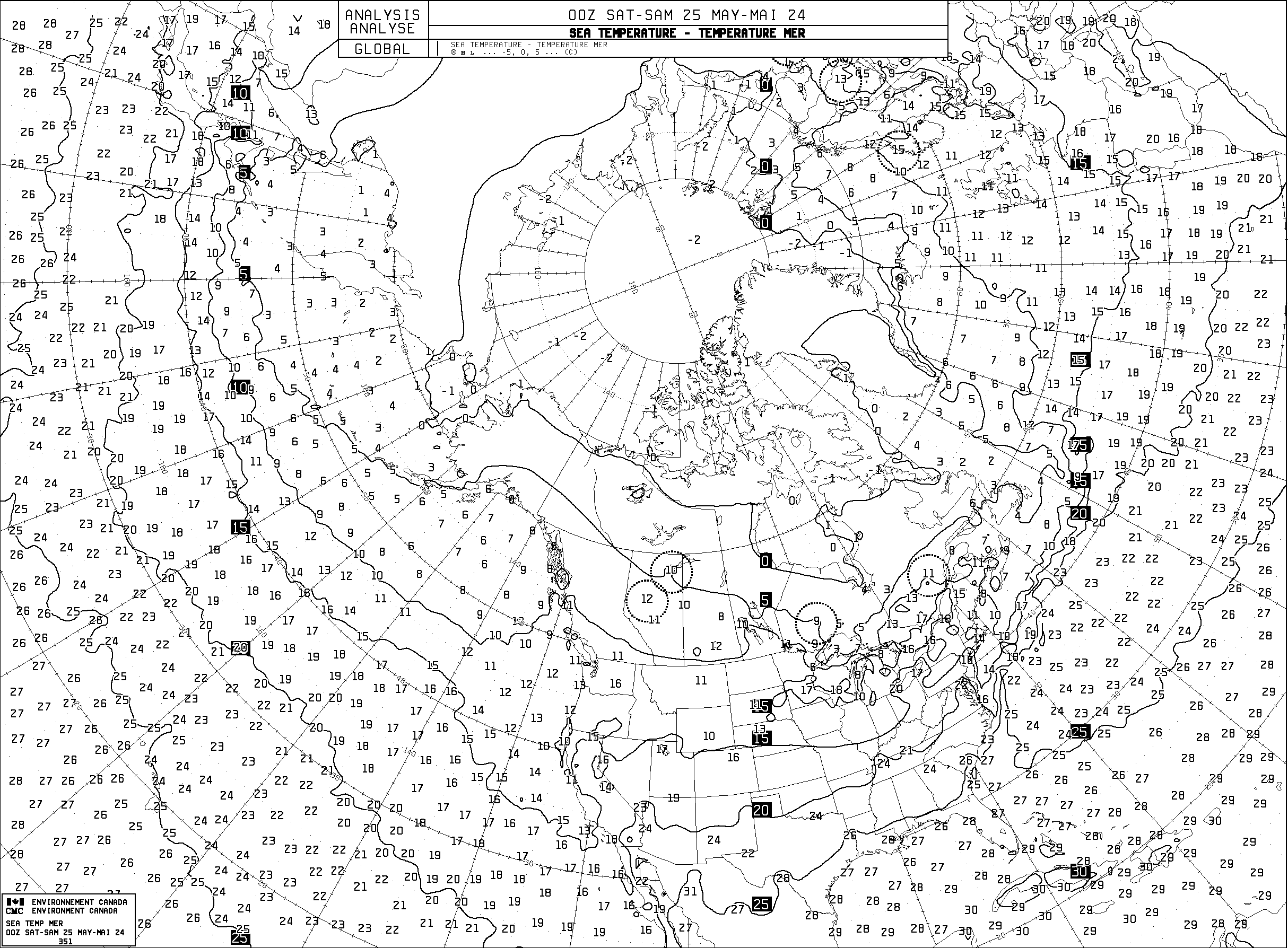
You can open the maps below to new tabs to enlarge them, and then click back and forth between the tabs to watch how the ice grew between November 10 and November 29.


Back on November 11 cold air was building over the Pole, as the Atlantic was blocked and pouring most of its milder air east into Europe. The main entrance region for milder air was through Bering Strait. Cold Siberian air was draining north into the Laptev Sea.


Five days later the Pacific air has curled along the Canadian coast to the Pole, generating rising air and low pressure, which creates a return flow back to Canada. The air is in essence sloshing back and forth, but a cross-polar flow like last winter’s, from the Laptev Sea to the Canadian Archipelago is developing on the Pacific side, as a weak cross-polar-flow heads the other way north of the Atlantic. (Last year I called this “The Two Way Highway”.)


By November 18 the cross-polar-flow from Siberia to Canada is quite clear, and, like last year, not only air is moved but also the sea-ice is moved, to join the mass of multi-year ice already piled up north of Canada. Meanwhile, on the other side of the “highway’, a west wind blows across the north of Europe, keeping the Siberian cold at bay.


By November 25 the cross-polar flow has largely broken down. A storm rolling along the Eurasian arctic coast has brought some Atlantic air up to the Pole, but the Pole is much colder, as it is sloshing between patterns, and isn’t exporting much cold.The cold air it is exporting is back down to be recycled in Siberia. This will generate storminess as the cold air clashes with the Atlantic air.


Currently the storminess has taken over the entire Atlantic side of the Pole, and a great rush of milder air is being drawn up to the Pole, even as the same general flow draws the coldest air of the season north from Siberia across the Laptev Sea. This clash will be interesting to watch.


The current invasion of warm air will of course make the graph of temperatures north of 80 degrees latitude spike upwards.

These spikes in temperature might seem like they would indicate less sea-ice forming, however, as the maps show, they are often indicative of storms at the Pole, and storms often smash up the ice and expose waters to temperatures which, as the graph makes clear, are well below the freezing point of salt water. Perhaps a small amount of ice is melted if the water is stratified and if warmer water is stirred up from below, but such melting is more probable in summer storms. In winter storms the ice cracks to “leads” of open water which swiftly freeze over, or else these leads slam shut, creating “pressure ridges” of piled up ice. After last winter, which was quite stormy, the new ice was not very flat, and contained more mini-mountain-ranges of piled up ice, which suggests storms increase the total volume of ice over a given area. It likely also chills the water more, as the water is exposed to the sub-zero air more often.
To get an idea of how much the ice is shifted about it pays to keep an eye on how the ice is moving, and I find this animation helpful:
Arctic Sea Ice Speed & Drift – 30 Day Animation
Because the Arctic Sea is constantly losing heat, if not through the open water of leads then through the ice itself (especially when the ice is new and only a foot or two thick,) now is the time we see the tables turned, and the Pole becomes a source of warming for the Tundra, and the Tundra becomes a source of cold for the Arctic Sea. The exact opposite is true during the summer, and it can be a bit hard to get your mind around which is effecting which, as the seasons change. It is especially hard because whichever is colder will tend to generate sinking air and high pressure, and whichever is warmer will tend to generate rising air and low pressure. It is great fun trying to keep track of it all, as long as you don’t mind seeing your assumptions are incorrect on a regular basis.
The only certain thing is that it is darn cold up there, and the sea is freezing over. Where there isn’t ice, ice will appear, and where there is ice, the ice will get thicker. You can keep an eye on the thickness here:
Arctic Sea Ice Thickness – 30 Day Animation
The best collection of arctic information I know of has been compiled by Anthony Watts on his Sea Ice Page, which can be seen here:

Davis Strait has had a series of storms for the last month, with 3 meter seas common, which is preventing it from freezing.
https://weather.gc.ca/marine/index_e.html
The water is cold enough to freeze and if the wind dies down it will gain ice fast, like what occurred in Hudson Bay.
Thanks for the information. I imagine it is hard to form any sea ice with 3 meter waves. I’ll be watching to see how swiftly the ice forms, when it does form.
What fascinates me is how much ice is exported down from Baffin Bay through Davis Strait. Some of it comes all the way from the Arctic Ocean, squeezing through Nares Strait at the top of Baffin Bay, as was shown by the long voyage of mass-balance buoy 2013C last autumn and winter:
http://imb.erdc.dren.mil/2013C.htm
Sometimes so much ice is pushed south you can see open water appear in the dead of winter, when temperatures are minus 40, up at the top of Davis Strait. This likely causes strange meteorological conditions, and also creates a lot of new ice in a hurry.
All in all I’d say Baffin Bay is a great creator and exporter of ice. Last winter it was exporting so much ice that the extent of sea ice was above normal, down where the flow of ice pours into the North Atlantic off Newfoundland. I’ll bet a nickle that effects the temperature of the North Atlantic, though how you’d measure the difference between a year when a lot of ice is exported and a year when far less ice is exported is above my pay grade.
Thanks for visiting and commenting, and enjoy this winter’s ice-watching!